


Ramsau am Dachstein
Kulmberg Waldweg
Winter walking
Data:
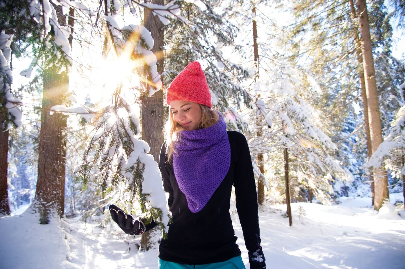
copyright: Tourismusverband Schladming-Dachstein
Tour description
A beautiful winter forest hike around the Kulmberg. For the most part, you hike along the summer route #2, which leads around the Kulmberg. However, some sections are not possible as cross-country ski trails run here in winter. On the west side of the Kulm, you use the groomed Kulmbergrunde winter hiking trail, and you also have the option to switch to the groomed winter hiking trail in Ramsau Kulm.
The tour
moderate
publicly accessible
Starting and end point
Waldschenke Ramsau
Tour characteristics
Distance: 9.8 km
Fitness (3/6)
Skills (2/6)
Information
Distance: 9.8 km
Duration:
2:50 h
Ascent: 180 m
Descent: 180 m
highest point: 1215 m
Best season
Jan
Feb
Mar
Apr
May
Jun
Jul
Aug
Sep
Oct
Nov
Dec
Map, elevation profile & further information
From the starting point at the stadium, hike over to the ski jump and around the outrun into the Philosophenweg, which leads you comfortably to Kulm. You now have two options: either along the road to the Kulmberg-Kulm hiking portal and up to the Kulmberg Rundweg, or from the Schistube Steiner further along the forest path. Follow the signposted path through the settlement at Kulmbergweg and continue along the edge of the forest to the Vorbergstraße at the southwestern end of the Kulmberg at the Vorberg-Drachenlift hiking portal. From here, follow the groomed Kulmbergrunde winter hiking trail back to the stadium. If this is not groomed due to low snow conditions, follow the Vorbergstraße and subsequently the sidewalk along the main road back to Ramsau-Ort.
The path is maintained to the best of our ability, but icy patches are still possible in winter.
In winter, caution is advised even on seemingly easy hikes. In shady areas, the ground can be slightly icy, and there may be avalanche danger below slopes. Mountaineering is therefore primarily a matter of personal responsibility – even more so in winter. Tourist associations and avalanche warning services assume no liability whatsoever based on the information provided.
Your equipment should ideally include:
- Ankle-high, warm shoes. Waterproof, warm shoes with a treaded sole are ideal. Optional: Gaiters for additional snow protection.
- A hood and warm clothing, ideally layered. Don't forget a change of clothes for longer winter hikes: a wind and waterproof jacket and trousers.
- A small backpack with a warm drink in a thermos and snacks as needed
- Sun protection
- Cell phone
- First aid kit
- Optional: crampons/snow spikes (snow chains for shoes), telescopic hiking poles for better grip and balance.


