Hiking at the Dachstein


Discover selected hiking trails on the Dachstein and around Ramsau am Dachstein. Together with the Schladming-Dachstein region, we’ve put together tours for a variety of skill levels.
Whether it’s a leisurely hike in the Dachstein alpine pasture region, a scenic mountain hike, or a hike on the Dachstein Glacier: For each individual tour, you’ll find all the important information at a glance—from difficulty level and duration to route and elevation gain.
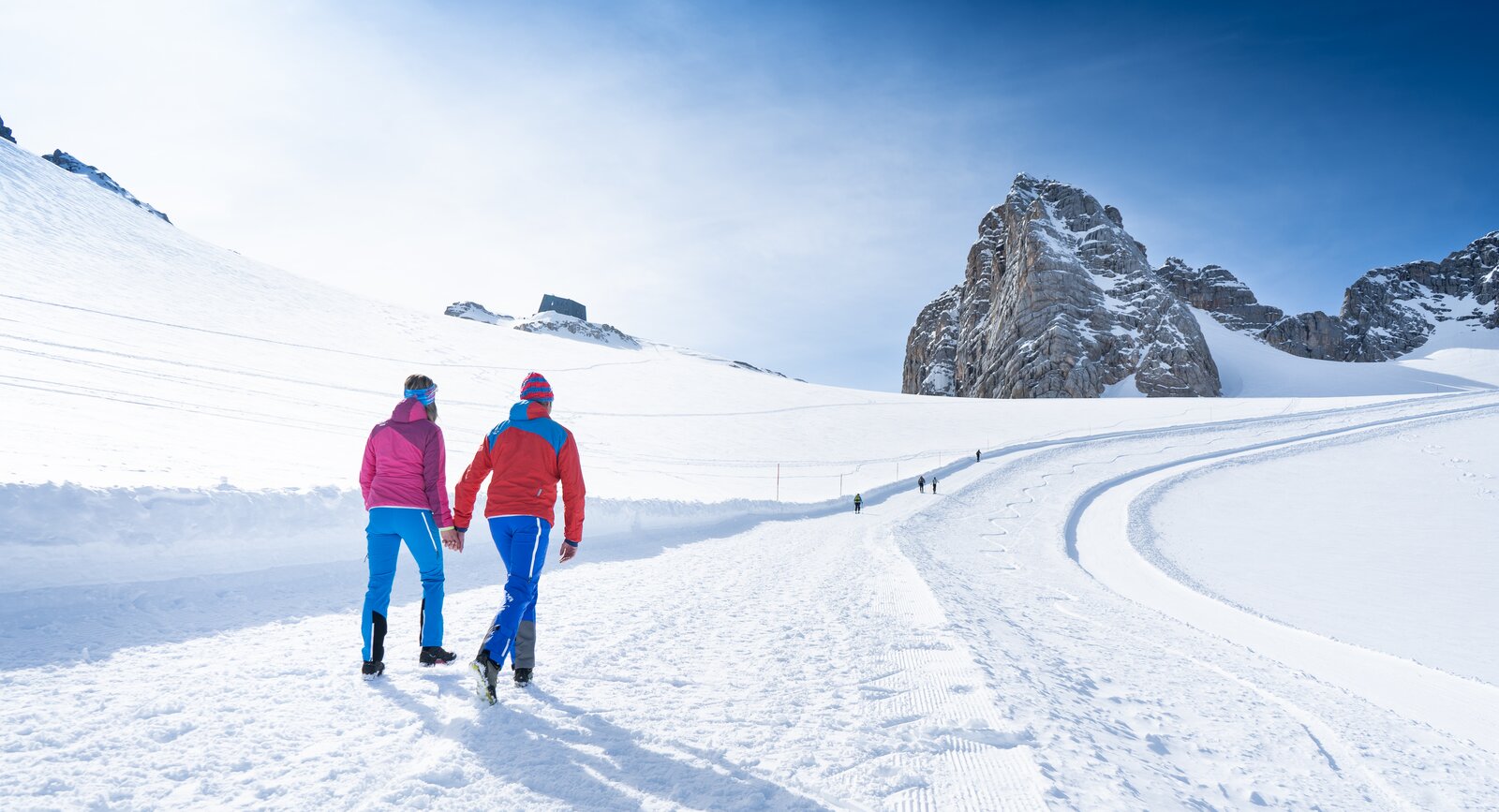
Safety While Hiking on the Dachstein
On the Dachstein Glacier, you’ll be traveling through high-alpine terrain . Weather, snow, and trail conditions can change rapidly.
Therefore, before every tour, check:
- the current route status
- weather and visibility
- the difficulty and duration of the tour
required equipment - any closures and on-site notices
Wear sturdy hiking boots and weather-appropriate clothing. Depending on the route and conditions, additional alpine gear may be necessary
Important: Due to glacial changes , the accessibility of routes and trails may vary, particularly during the summer and fall months. Safe passage cannot be guaranteed throughout the entire route. You undertake this hike at your own risk, and it is recommended only for those with appropriate equipment and experience . For challenging hikes, it is recommended to be accompanied by a mountain guide is advisable.
Summer & Winter
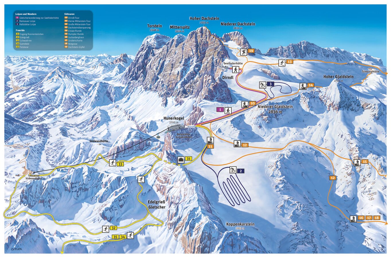
Glacier Hike to the Seethaler Hut
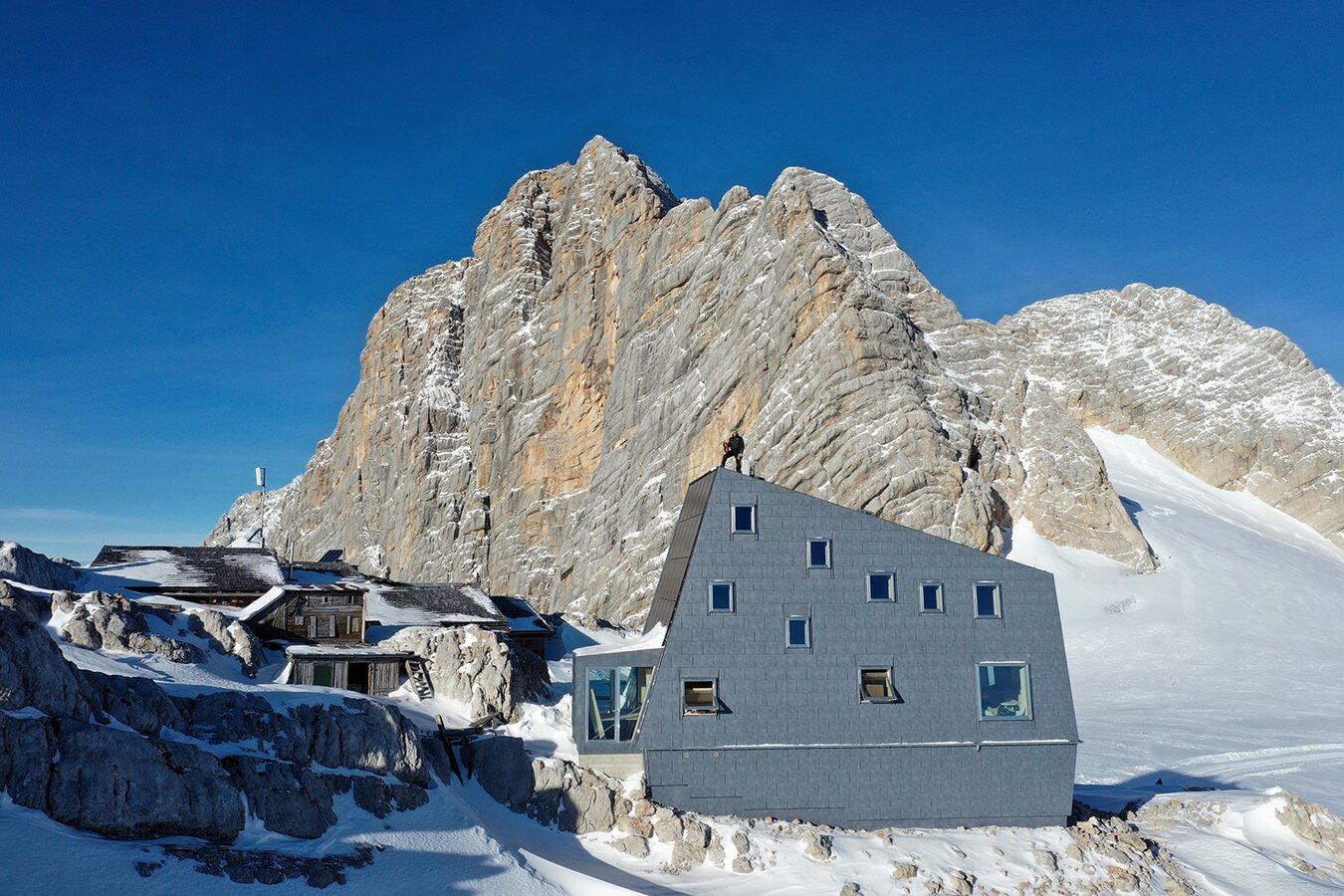
The glacier hike to the Seethalerhütte is a special experience. It starts at the Dachstein mountain station at 2,700 m and leads through the high-alpine landscape of the Dachstein Glacier to the Seethalerhütte.
Tour details:
- Start and finish: Dachstein mountain station , 2,687 m
- Distance: 4km
- Elevation gain: 190 m uphill and 190 m downhill
- Duration: approx . 1:30 to 2:00 h
- Difficulty: High-alpine hike—sure-footedness and appropriate gear required
Along the way, you’ll experience rock, ice, and snow up close. At the Seethalerhütte, you can take a break and enjoy the view of the Dachstein massif.
Equipment: Wear sturdy hiking boots and weatherproof clothing. Be sure to pack sunglasses and sunscreen in your backpack.
Weather: Check the weather and current conditions before setting out. In the high mountains, the weather can change quickly.
Fitness: Althoughthe route is short, the high altitude can be strenuous. Walk slowly and plan for plenty of breaks.


Hiking in the Summer
Dachstein Circular Hiking Trail
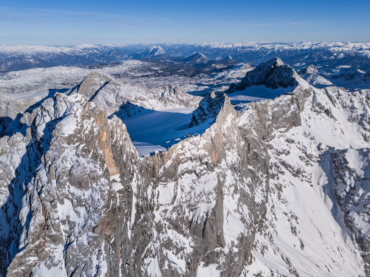
The Dachstein is the centerpiece of the Dachstein Circular Hiking Trail . Over 8 stages, you’ll hike through the diverse mountain landscape surrounding the Dachstein massif and discover the unique features of each region. The loop trail takes you through Dachstein Salzkammergut, Tennengau, Filzmoos, Schladming-Dachstein, and the Ausseerland. Along the way, you’ll encounter diverse landscapes, breathtaking views, and select mountain huts where you can spend the night. This makes the Dachstein Circular Hiking Trail a varied hut-to-hut tour around the Dachstein.
Hiking in the Summer
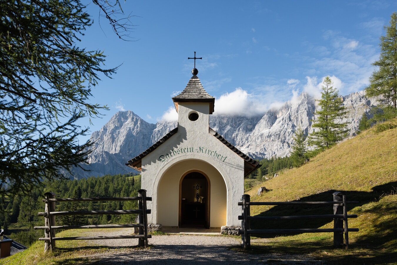
Dachstein Chapel
The Dachstein Kircherl is a memorial to mountaineers who have lost their lives in the Dachstein region since 1879. It is located at the foot of the Dachstein in the alpine pasture area between the Dachstein Glacier Cable Car and Ramsau am Dachstein, above the Brandalm.
From the valley station of the Dachstein Glacier Cable Car, you can reach the chapel in about 30 minutes on foot. This short walk can easily be combined with a hike through the Dachstein alpine pasture area.
Do you know what I mean?
A mountain is nothing more than a huge pile of rocks.
But up there on the summit—I’ll tell you this much—
it’s so much nicer than down here in the valley!
Your SummitLynx Dachstein Summit Logbook
Never forget another hike or summit again : With the SummitLynx app, you can digitally record your mountain adventures. Using GPS , you can sign your name in your digital summit logbook at the Dachstein Glacier and on many other peaks.
This way, your hikes are saved as personal memories. Share your experiences with friends and leave your mark in the digital Dachstein summit logbook.
The SummitLynx app is available for Android in the Google Play Store and for iPhone in the App Store .
Dachstein Glacier Map