right in the middle of
contact
11 °C
Webcams
1 / 1 Cable car
20 cm
Ramsau am Dachstein

Guttenberghaus - Stoderzinken | Dachstein Circular Hiking Trail: Stage 04
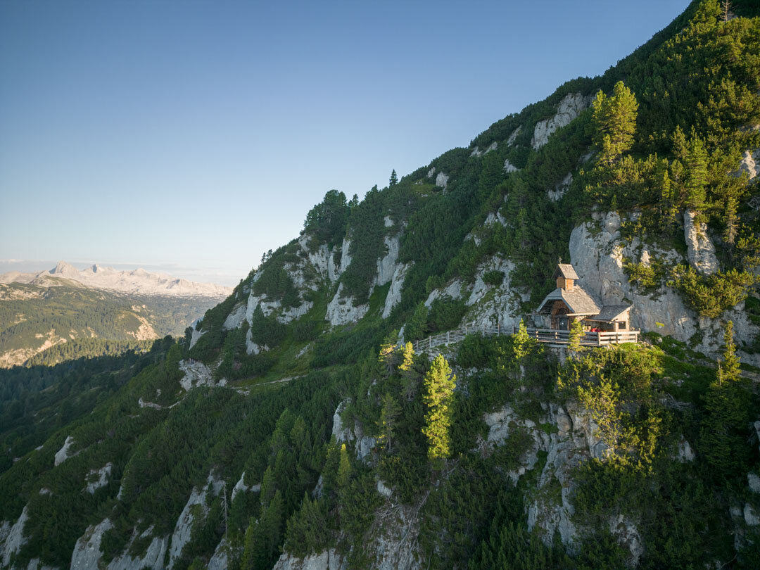
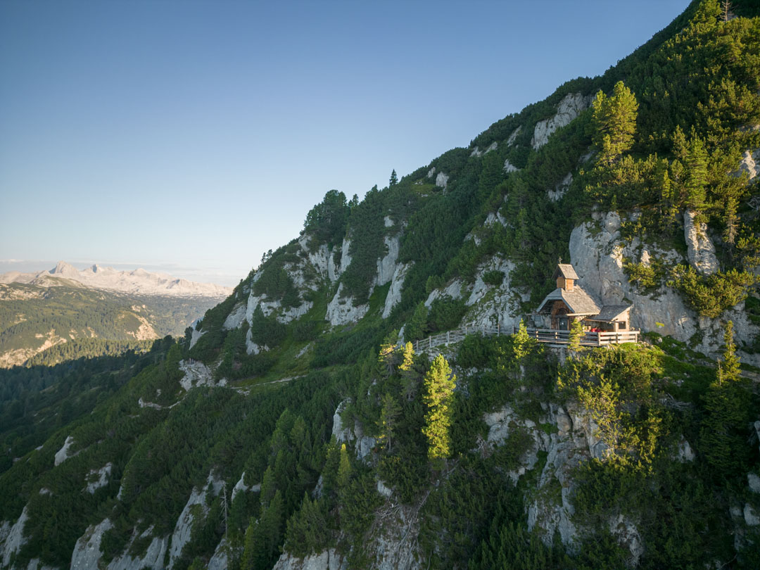
Friedenskircherl at Stoderzinken
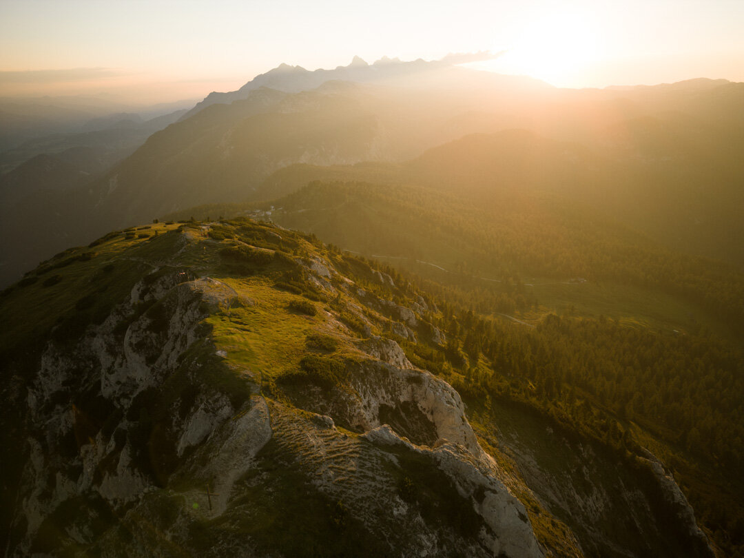
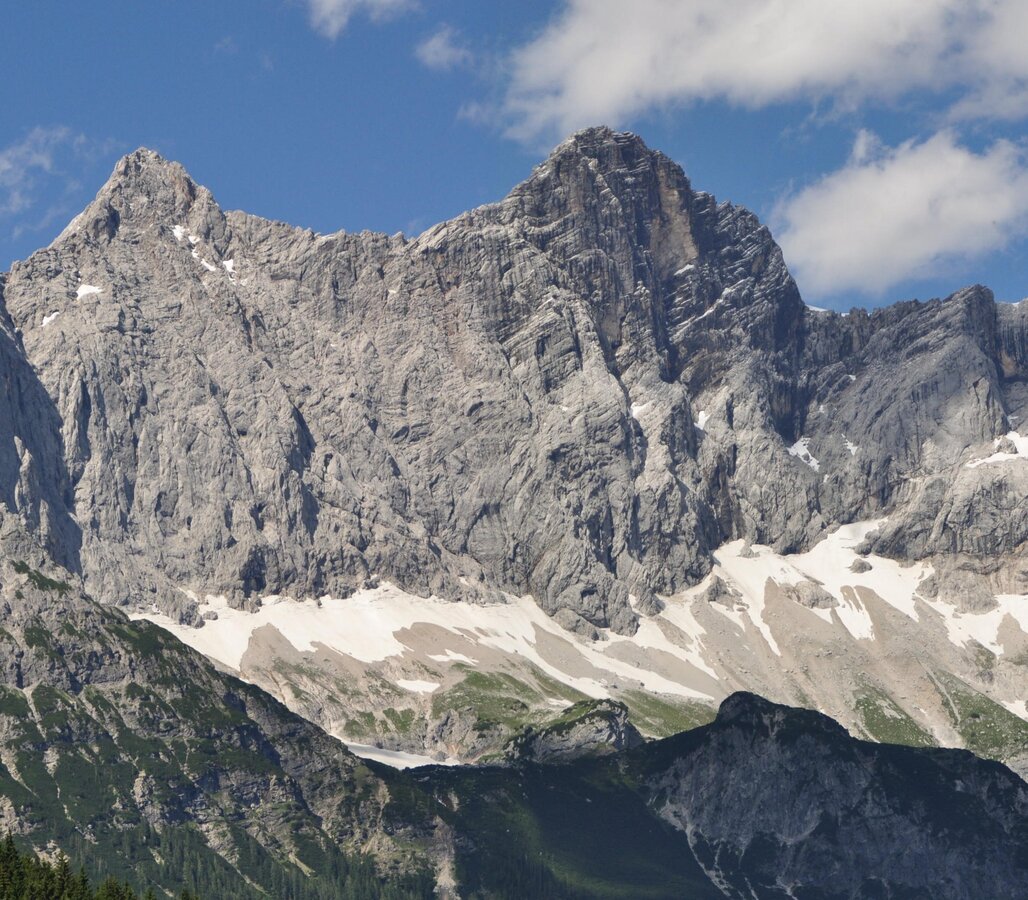
Mountain ridge on the Stoderzinken
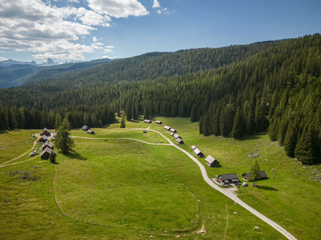
Alpine settlement on the Dachstein Circular Hiking Trail
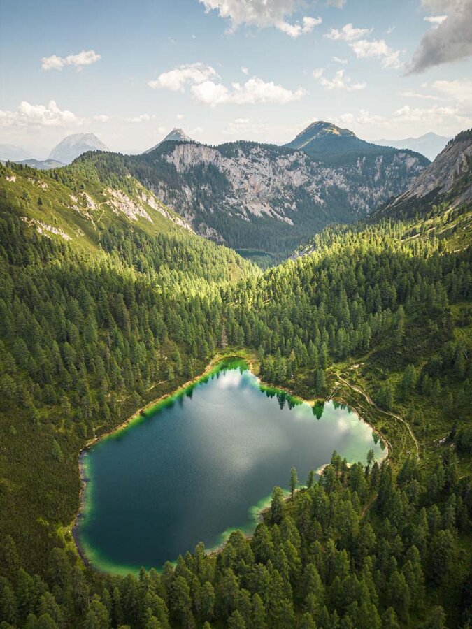
Mountain lake on the Dachstein Rundwanderweg
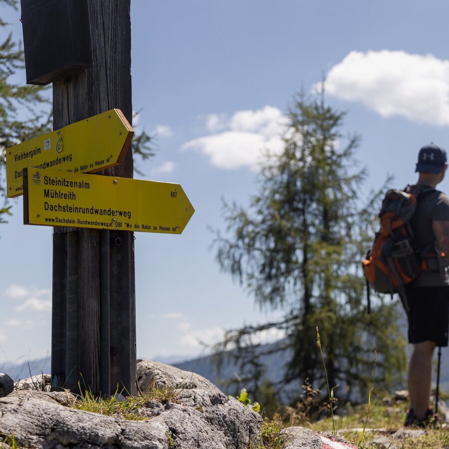
Signpost on the Dachstein Rundwanderweg
Dachstein Panorama
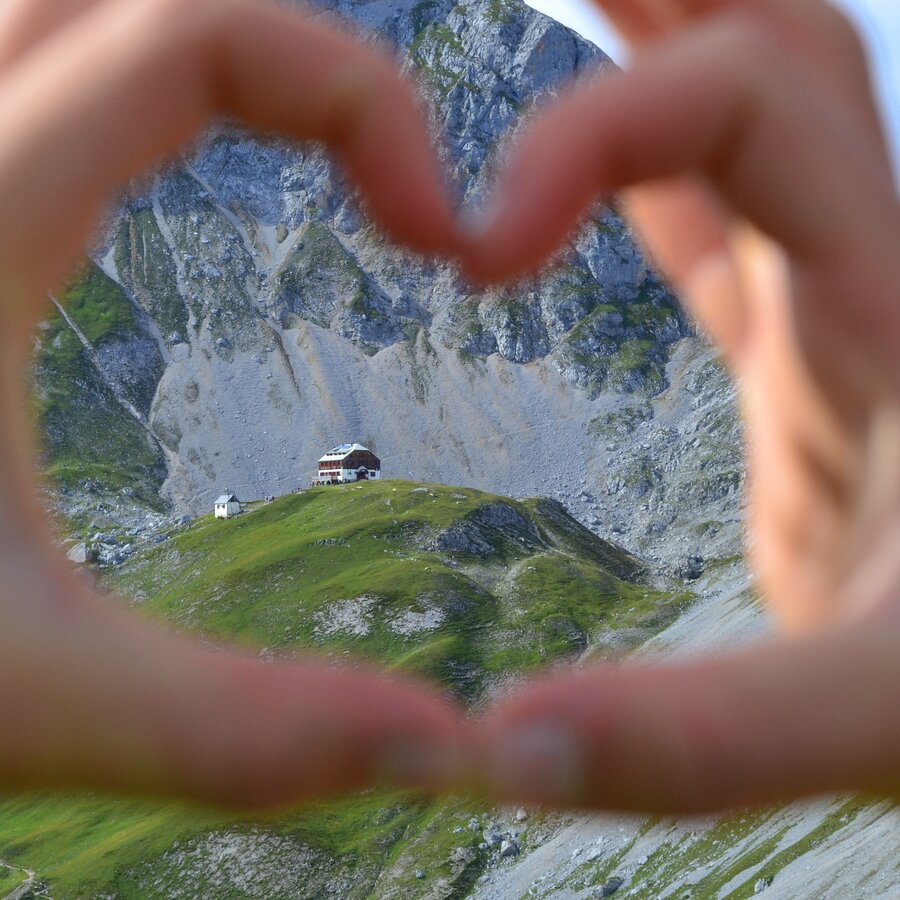
Guttenberghaus in the heart frame
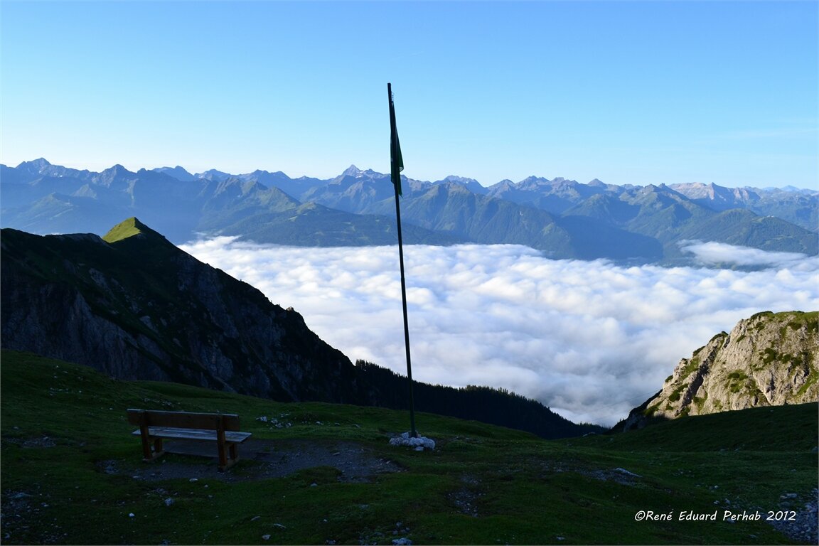
Viewpoint with a sea of clouds

Tour description

From the stony high mountains we go steadily downhill until we see forests and meadows again and finally arrive at the Steinerhaus am Stoderzinken, the stage destination.

The tour

difficult
Starting point Guttenberghaus
Destination Steinerhaus - Stoderzinken
Tour characteristics
Distance: 14.3 km
Fitness (5/6)
Skills (4/6)
Information
Distance: 14.3 km
Duration: 6:30 h
Ascent: 488 m
Descent: 828 m
highest point: 2200 m
Best season
Jan
Feb
Mar
Apr
May
Jun
Jul
Aug
Sep
Oct
Nov
Dec

Map, elevation profile & further information

We start the fourth day with a small ascent to the Feisterscharte. Then we follow trail 618 over the northern slope of Sinabell in an easterly direction past rocks, mountain pines and gorges. After about three to four hours we arrive at the Grafenbergalm, where we slowly hike back into the forest from the high alpine area of the tour. After the barren rocky landscape we find meadows and forests again as a contrast. We are here in a large hiking area and accordingly there are many different hiking trails, so we have to take care that we stay on our way with the No. 618 towards the west. Here there is another beautiful view point back to the glacier. We walk through a dense forest and on a serpentine road past the Brunnerhütte, up to our destination - the Steinerhaus. 

This tour leads through alpine height, therefore you should be aware of sudden weather changes. 

sturdy shoes, rainproof clothes, backpack, enough to drink and snacks, sleeping bag if necessary

Parts of this stage are part of the nord route of the wide hiking trail "From glacier to vine"

Along the route

Wheather predicition

today
28.10.2026
Mountain 0 °C
Valley 11 °C
Precipitation
Probability
75 %
Amount
5.2 l/m²
Wind speed
Nordwest
25 km / h
Sun
Sun hours
1.2 h
Sunrise
06:43 o clock
Sunset
16:55 o clock

Fairly sunny with scattered clouds during the day, but snowfall will start towards evening.

tomorrow
29.10.2026
Mountain -4 °C
Valley 8 °C
Precipitation
Probability
50 %
Amount
0.4 l/m²
Wind speed
Nordost
15 km / h
Sun
Sun hours
0 h
Sunrise
06:44 o clock
Sunset
16:53 o clock

Sunny and cloudy periods will alternate throughout the day.

day after tomorrow
30.10.2026
Mountain -4 °C
Valley 8 °C
Precipitation
Probability
0 %
Amount
0 l/m²
Wind speed
Nordost
15 km / h
Sun
Sun hours
6.4 h
Sunrise
06:46 o clock
Sunset
16:52 o clock

Dry and bright with plenty of sunshine, clouds will be rare

Tours nearby