right in the middle of
contact
11 °C
Webcams
1 / 1 Cable car
20 cm
Ramsau am Dachstein

Duregg Loop Trail - The Forest Walk
Tour description

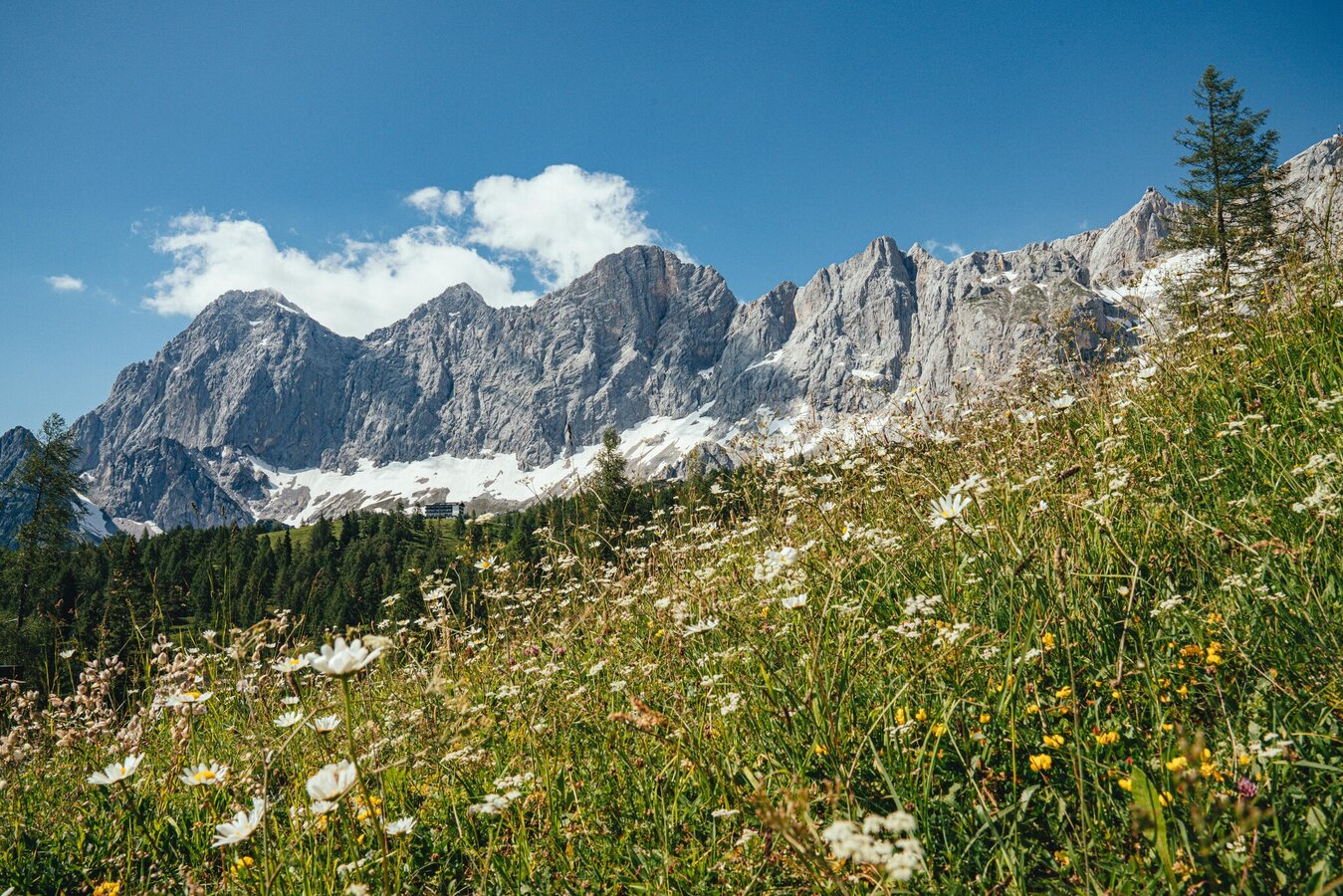
A lonesome path leading through the woods to beautiful meadows and impressive views to Dachstein's south face are awaiting you at 1.520 meters above sea level (m. a.s.l.).  

The tour

moderate
publicly accessible
Starting and end point Auwirt
Tour characteristics
Distance: 9.3 km
Fitness (4/6)
Skills (3/6)
Information
Distance: 9.3 km
Duration: 3:45 h
Ascent: 480 m
Descent: 480 m
highest point: 1524 m
Best season
Jan
Feb
Mar
Apr
May
Jun
Jul
Aug
Sep
Oct
Nov
Dec

Map, elevation profile & further information

Leaving Ramsau Ort, take the Panorama Trail West to Dachstein road's toll station. From there, the Duregg trail, a steep loop of the Hierzegg Ramsau quarter, gives you great access to the Ramsau Alm region. The secluded but very beautiful path leads through the forest up to 1.700 m a.s.l. Splendid alpine pastures with impressive views to the Dachstein will reward your efforts. You can walk back to Ramsau Ort along the Tannenweg path.

Arriving from the west:From the west you can take the Munich-Salzburg motorway, continuing on the Tauern motorway (A 10) until the Ennstal junction. From here take the Ennstal A-road (the B 320) for around 30 km into the Schladming-Dachstein region, then take the Ramsau am Dachstein turn-off.

Arriving from the north:From the south-east take the Pyhrnautobahn motorway (A 9) to the Liezen junction and then the Ennstal A-road (B 320) into the Schladming-Dachstein region. Then take the Ramsau am Dachstein turn-off.


Parking lot Auwirt

Bus stop Ramsau Auwirt

See the timetables HERE

Hiking boots.
The Auwirt was the starting point for the two Steiner brothers, Franz and Georg, when they left for their first successfully ascent of the Dachstein Südwand (south face) on the 22nd of September 1909.  Schladming-Dachstein

Hiking map Schladming-Dachstein, 1:50,000, available in the information offices

Hiking guide Schladming-Dachstein by Herbert Raffalt (available only in German), available in the information offices

Along the route

Wheather predicition

today
28.10.2026
Mountain 0 °C
Valley 11 °C
Precipitation
Probability
75 %
Amount
5.2 l/m²
Wind speed
Nordwest
25 km / h
Sun
Sun hours
1.2 h
Sunrise
06:43 o clock
Sunset
16:55 o clock

Fairly sunny with scattered clouds during the day, but snowfall will start towards evening.

tomorrow
29.10.2026
Mountain -4 °C
Valley 8 °C
Precipitation
Probability
50 %
Amount
0.4 l/m²
Wind speed
Nordost
15 km / h
Sun
Sun hours
0 h
Sunrise
06:44 o clock
Sunset
16:53 o clock

Sunny and cloudy periods will alternate throughout the day.

day after tomorrow
30.10.2026
Mountain -4 °C
Valley 8 °C
Precipitation
Probability
0 %
Amount
0 l/m²
Wind speed
Nordost
15 km / h
Sun
Sun hours
6.4 h
Sunrise
06:46 o clock
Sunset
16:52 o clock

Dry and bright with plenty of sunshine, clouds will be rare

Tours nearby